
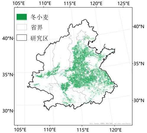
冬小麦制图产品基于Landsat 8数据,应用分区分类技术生成. 每年一个图幅,共10个图幅。已在zenodo数据仓库公开(https://zenodo.org/records/10522027)
Liu, Y., Chen, X., Chen, J., Zang, Y., Wang, J., Lu, M., Sun, L., Dong, Q., Qiu, B., Zhu, X., 2024. Long-term (2013–2022) mapping of winter wheat in the North China Plain using Landsat data: classification with optimal zoning strategy. Big Earth Data 8, 494–521. https://doi.org/10.1080/20964471.2024.2363552